Typhoon
Hagupit threatens major flooding of Manila
Residents walk past high waves brought about by strong winds as it pound the seawall, hours before Typhoon Hagupit passes near the city of Legazpi. Photo: AFP
8
December, 2014
Slow-moving
Typhoon Hagupit has weakened as it churns across the central
Philippines islands, easing fears of widespread mass destruction, but
officials warn the storm could still bring severe flooding to the
low-lying capital Manila.
Since
slamming into the island of Samar on Friday night, Hagupit has killed
at least three people while flattening houses, toppling trees
and knocking out power lines.
But
the storm with a 600-kilometre front has not wreaked destruction of
the same scale as Super Typhoon Haiyan that hit the country last
year, leaving 7300 dead and displacing 4.1 million others.'
Typhoon
Hagupit hits the Philippines. Photo:
AFP
One
million people fled to the safety of 1500 schools, civic centres,
churches and other makeshift evacuation centres ahead Hagupit, the
strongest storm to hit the Philippines this year.
Weather
forecasters say that as Hagupit grinds west-northwest across the
Philippines, the danger will gradually transition from wind damage
and storm surges to heavy rainfall.
Its
centre is expected to move agonisingly slow in the general direction
of Metro Manila, taking 48 to 72 hours to move from the eastern
Philippines to the capital.
Forecasters
say that while Hagupit's winds will continue to weaken as it
approaches Manila, it will remain strong enough to bring down trees
and cause power outages.
Visiting
the Philippines, Greenpeace global chief Kumi Naidoo blamed climate
change for increasingly violent storms hitting the country.
"Nature
does not discriminate. We actually have to wake up and smell the
coffee. We need to understand we are running out of time," he
said, in a warning to negotiators meeting in Lima, Peru, to hammer
out the broad outlines of a new world pact on global warning.
Mr
Naidoo said the typhoon passing over the Philippines was an example
of the massive damage poorer countries would experience if climate
change worsens.
He
said the storms hitting the South-East Asia archipelago were getting
stronger and stronger, showing the urgency for world governments to
act.
The
Philippines endures an average of 20 typhoons a year.
Millions
of people remain in the path of Hagupit, which is called Ruby
locally.
After
making landfall with wind gusts up to 220 kilometres per hour the
storm's punch weakened on Sunday and early Monday to gusts of 170
kilometres per our.
In
Manila, a city of 12 million people, authorities have closed schools
and tens of thousands of slum dwellers have been evacuated from
coastal shanty homes vulnerable to heavy flooding.
The
storm is expected to dump intense rain across the country before
exiting into the South China Sea on Tuesday.
UK
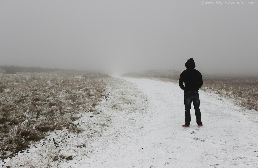
weather: 'Horrendous' conditions of snow and ice expected as weather
warnings issued for much of the UK
7
December, 2014
The
Met Office has issued weather warnings over "horrendous"
conditions that are set to hit part of the UK as temperatures plummet
bringing snow and ice.
Scotland,
northern England, the Midlands and Northern Ireland have all been
handed a "be aware" warning that will be in place until
Monday morning.
The
BBC reported that
emergency services are dealing with a number of road accidents on the
A9 in Scotland after snow, ice and strong winds hit the country this
weekend.
2:50 AM - 8 Dec 2014 Scotland, United Kingdom
The
Met office said that the UK will see “an unsettled, cold and often
windy” theme this week, with the snow and ice warning across
Scotland and northwest England, the West Midlands and Northern
Ireland will be in place until the middle of Monday.
Across
these areas people can expect a mixture of hail, snow, sleet and
heavy showers, while icy patches will appear overnight and Monday
morning.
The
worst effected region will be Scotland, where “across the tops of
the Scottish mountains it will be pretty horrendous,” a
spokesperson told
the Evening Standard.
Areas
in south west Wales and the tops of the moors will see more “wintry”
weather on Monday night with possible sleet and snow in areas
extending to the Cotswolds, while south eastern England will see a
north westerly breeze overnight.
During
the day on Monday there will be “large areas of fine spells of
winter sunshine,” though it will feel cold, with “corridors of
good, dry, bright weather,” up and down the country, a spokesperson
for the Met Office said.
The
cold, snowy and sleety weather this week is due to a rapidly
deepening low pressure system in the north Atlantic, which is pushing
associated bands of cloud and rain across the country as it tracks
north eastwards.
Monday
night is expected to be the coldest night this week, but some western
peripheries in Scotland will stay above freezing due to the heat from
clouds and strong winds.
A
band of cold rain is then expected to sweep south eastwards from
Scotland throughout Tuesday, with wet and windy spells through many
parts of the country.
Wednesday
carries a yellow warning for wind across Scotland, Northern Ireland,
northern England and north western parts of Wales. Many will see
gusty gale force winds, while the exposed north western parts of
Scotland could see winds of up to 70 or 80 miles an hour.
“Rain
is then expected to push through from Thursday into Friday, with
slight uncertainties continuing on a windy theme,” the spokesperson
added.
Thunderstorms:
More severe weather on the way for New South Wales and Queensland
8
December, 2014
THUNDERSTORMS
caused havoc in Sydney last night with flights and special events
cancelled - and the wild weather is not over yet.
There
was huge disruption at Sydney Airport last night with many flights
cancelled or delayed causing headaches for hundreds of people trying
to return home.
Many
were forced to sleep at the airport while some took five hours to get
home on flights between Melbourne and Sydney.
Film
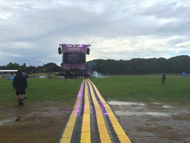
fans were also impacted with the popular Tropfest short film festival
delayed after Centennial Park was evacuated.
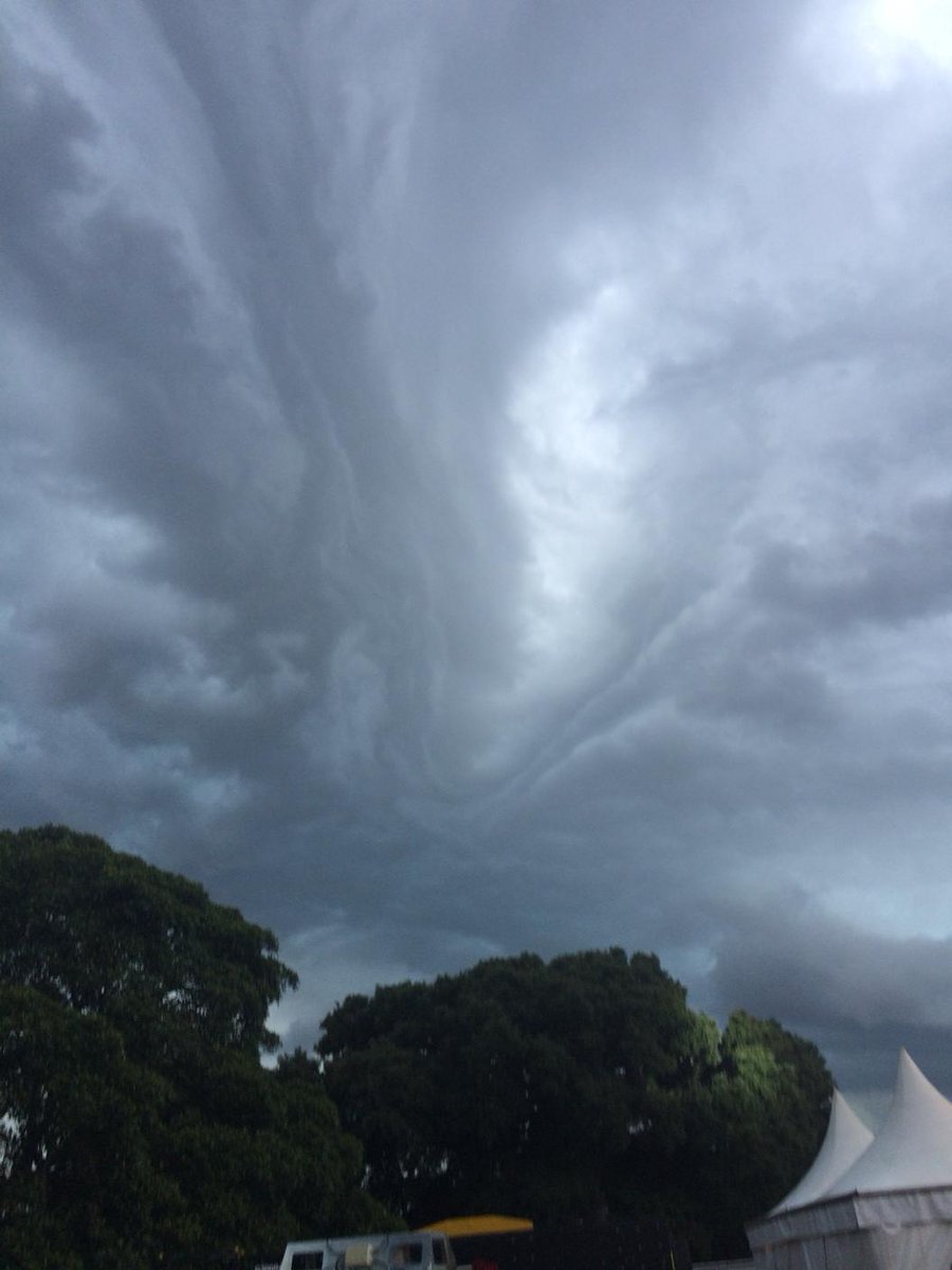
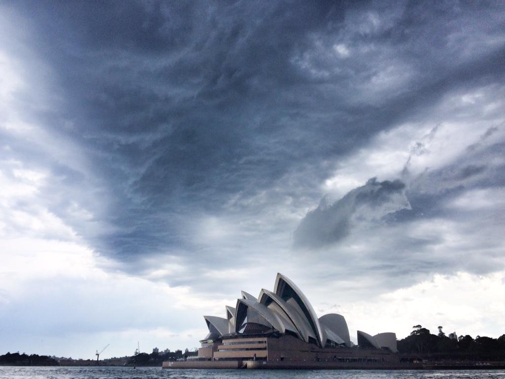
Photo of the storm in Sydney on Sunday. Photo: Cedric Tourasse Photography, Source: Supplied
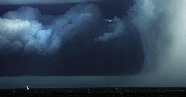
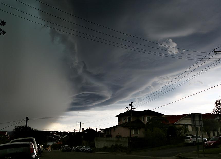
A storm cell passes over Sydney’s northern beaches at Dee Why on Sunday afternoon. Picture: John Grainger Source:News Corp Australia
Bureau
of Meterology duty forecaster Rob Taggart told news.com.au this
morning that the stormy conditions were expected to continue
throughout the week, especially in the northeast third of NSW,
including in Sydney.
“We’ve
already had storms move through Sydney this morning ... it wasn’t
severe and there weren’t many lightning strikes ... but we’re
expecting thunderstorm activity again in the afternoon and early
evening.”
Conditions
should ease on Tuesday but more wild weather is expected to hit on
Wednesday, Thursday and Friday.
Calm before the storm: Beautiful rainbow in Sydney on Monday morning. Photo: Cedric Tourasse Photography Source:Supplied
Even
the sporting arena was impacted with the final race of the V8
season, the 250 kilometre race at the Sydney NRMA 500,
declared based on time due to the wild weather.
Meanwhile
Brisbane residents were warned not to pack away the brolly just yet,
with remnants of the storms that battered the city on
Saturday expected
to strike again.
The
storms were generating a lot of attention on social media, with many
shocked yet unsurprised by yet more storms.
In
New South Wales, the Bureau of Meteorology issued a warning saying
damaging winds, flash flooding and large hailstones were likely.
There were reports of power shortages in Hornsby as well as flooding
the beachside suburb of Manly.
The
SES warned people to stay inside, move their car away from under
trees and secure loose items and furniture around their homes. It
also advised people to unplug computers and appliances and avoid
using phones during the storm.
The
warning follows days of unpredictable weather across the state, with
lightning strikes, high winds and thunderclaps setting in around 6pm
each evening.
The
SES says it received more than 400 calls for help in Sydney since the
onset of Saturday’s stormy weather, mostly related to leaking roofs
and localised flash flooding.
“We’ve
had almost a week of unsettled conditions almost right across NSW,”
BOM forecaster Rebecca Kamitakahara said.
“The
cause of it broadly has been quite a slow-moving low pressure trough
over inland NSW.” She added that this has increased the humidity,
leading to the tropical storms.
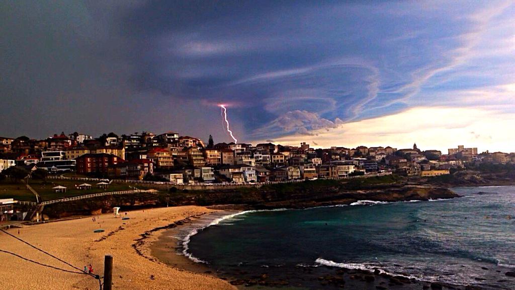
Photographer Roland Taylor captured Sydney’s lightning strikes on Thursday last week in a montage. Picture: Roland Taylor. Source: Supplied
The
sunshine state is also bracing for another drenching a week after a
‘supercell’ caused an estimated $1 billion worth of damage
according to Brisbane’s Lord Mayor.
Bureau
of Meteorology spokesman David Bernard said
there was a “reasonable” possibility more thunderstorms would
form on Sunday.
“We
will likely see them gradually build over parts of Brisbane this
afternoon,” he said. “They are expected in a fairly wide area up
to places as far as Charleville and Roma.
“In
Brisbane, if they form, it will most likely be on the ranges
northwest of city.”
Earlier,
waterspouts were spotted in Hervey Bay, while Higgins
Storm Chasingposted
this video of a funnel cloud to Facebook.
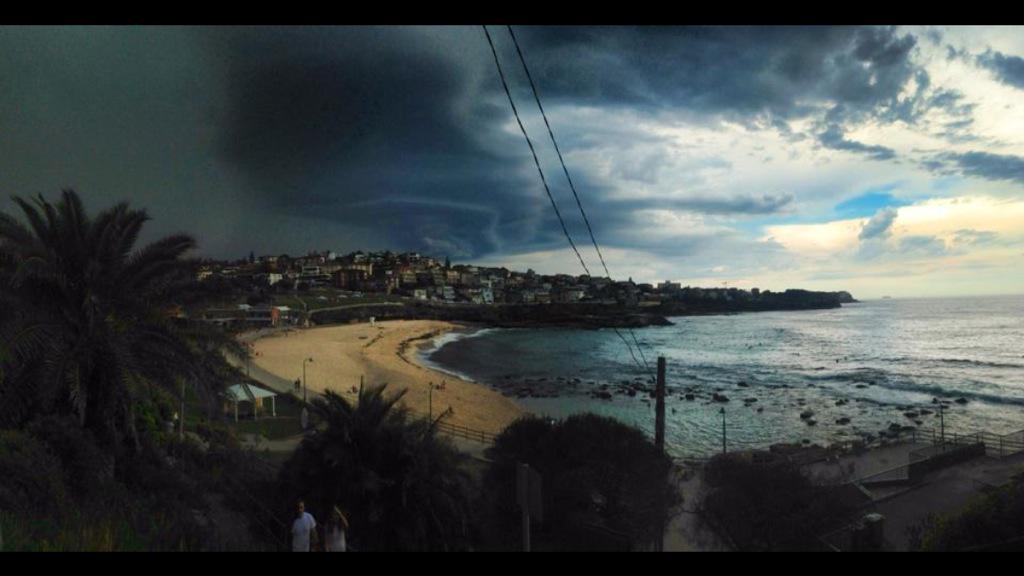
Pictures of a storm on Friday taken from Forte Denison. Picture: Jessica Lingotti Source: Supplied
Rain rolls in over an industrial area in Rosehill. Source: News Corp Australia
Rebecca
Kamitakahara said more unsettled weather was forecast for next week,
but won’t be as “intense” as in recent days.
The
seven day forecast for Brisbane and Sydney shows possible
thunderstorms through to Thursday next week.
A
storm in Boljevac, Serbia
A storm approaches Dubrovnik, Croatia
Ice
Storm in Petrohan Pass, Bulgaria 2014.12.06











No comments:
Post a Comment
Note: only a member of this blog may post a comment.