

Smoke from Siberian Fires Reaches Canada

NASA,
25
July, 2018
The
Siberian area of Russia is experiencing a huge wave of wildfires in
their taiga forests. Hot, dry weather complicates the outlook for
getting these fires under control. Estimates of the amount of
land burning at present have been as high as ten million hectares
since the beginning of 2018 which is 38,610 square miles. Fires are
dangerous, of course, and do significant damage to the area where
they are burning, however, smoke is dangerous as well and can spread
so much more quickly than fire as evidenced by this satellite image
showing the smoke from the Siberian fires reaching Canada.
The
smoke released by any type of fire (forest, brush, crop, structure,
tires, waste or wood burning) is a mixture of particles and chemicals
produced by incomplete burning of carbon-containing materials. All
smoke contains carbon monoxide, carbon dioxide and particulate matter
or soot and is hazardous to breathe. Recently though, a study was
published in Nature Geoscience in May 2017 which discovered that
particle pollution from wildfires, long known for containing soot and
other fine particles known to be dangerous to human health, is much
worse than previously thought. Naturally burning timber and
brush from wildfires release dangerous particles into the air at a
rate three times as high as levels known by the EPA, researchers at
Georgia Tech found. The study also found wildfires spew
methanol, benzene, ozone and other noxious chemicals. Residents
that smell smoke or see haze in the air should take precautions
against breathing too much of it and stay tuned to local air quality
information.
This
satellite image was captured on July 23, 2018. Actively burning areas
(hot spots) are outlined in red. Each hot spot is an area where the
thermal detectors recognized temperatures higher than background.
When accompanied by plumes of smoke, as in this image, such hot spots
are diagnostic for fire. NASA image courtesy of the NASA/Goddard
Space Flight Center Earth Science Data and Information System (ESDIS)
project. Caption by Lynn Jenner with information from
Georgia Tech study (Journal
reference: https://www.nature.com/articles/ngeo2960)
Last
Updated: July 25, 2018
Editor: Lynn
Jenner
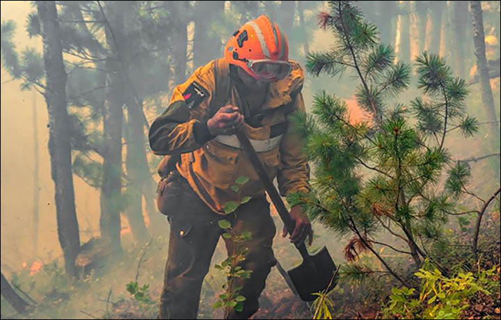
Taiga
burning’ - as scared bears are driven out of their natural habitat
towards settlements where they are shot as danger to people.
Latest
reports show 27 fires across Krasnoyarsk region covering 8,682
hectares in.
Dramatic
new pictures show the latest forest infernos as reports come from the
US that wildfire smoke from Siberia has blown some 5,000 miles to New
England.
This
comes as clouds are being spiked with chemicals in Yakutia to provoke
rain to extinguish flames - and amid claims from environmentalists
that the scale of forest fires has been hidden by the authorities.
In
the US, Storm Center 7 Chief Meteorologist Eric Elwell was quoted
saying: ‘Strong winds aloft in the polar jet stream carried some of
the smoke from the fires across the Bering Strait and into northern
Alaska, then southeastward into central Canada and eventually across
the Great Lakes and eastward into southern New England.’
No comments:
Post a Comment
Note: only a member of this blog may post a comment.