

Beaufort
and Chukchi Seas have near record open water

28
September, 2017
Temperatures
are dropping and the days are getting darker as Alaska moves into
autumn. But despite the approaching winter chill, there’s lots of
open water north of Alaska—a near record, in fact.
As
of this month, the extent of open water from Nome, Alaska, to the sea
ice edge in the Arctic is as much as 800 miles—marking an extreme
event. That’s according to Walt Meier of the National Snow and Ice
Data Center in Boulder, Colorado. Meier gave a status update on sea
ice minimum during the September 27 Alaska
Marine Policy Forum conference
call, hosted by Alaska Sea Grant and the Alaska Ocean Observing
System.
Not
only do the Beaufort and Chukchi Seas have a lot of open water now,
the ice directly to the north continues to melt even though we’ve
passed the overall minimum. “It’s still going down, probably
because of warm ocean water, as well as wind helping it,” said
Meier.
There
is going to be a lot of open water well into October, and maybe
November off the north coast of Alaska, Meier said. That has
potential implications for fall storms and coastal erosion in
northwestern Alaska.
“This
is of great interest in northwestern Alaska near Nome,” said Gay
Sheffield, Alaska Sea Grant’s Marine Advisory agent there. “The
return of the ice did not occur at St. Lawrence Island last year
until mid January.” There were strong weather events, including a
category 2 hurricane during the last week of December, Sheffield
said.
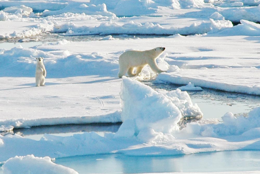 Ice
in Beaufort Sea north of Point Barrow. Photo by Kelley Elliott,
Hidden Ocean 2005 Expedition, NOAA Office of Ocean Exploration.
Ice
in Beaufort Sea north of Point Barrow. Photo by Kelley Elliott,
Hidden Ocean 2005 Expedition, NOAA Office of Ocean Exploration.
Meier
guessed the ice will be quite late in returning again this year, but
NSIDC does not forecast freeze-up dates. “NOAA and the US Navy have
a lot of interest in the predictability as well as the Alaska
communities. There is a push to predict what’s beyond September but
we are not there yet,” he said.
Overall
the trend to less arctic ice continues. The amount of multiyear
(thicker) ice is much lower than decades ago, and the new ice that
forms each year is quite thin.
NSIDC
monitors sea ice using passive microwave sensors on a satellite, and
has records that go back to 1979. Sea ice reached its minimum on
September 13 this year. The overall ice extent for the Arctic is now
1.79 million square miles, making it the eighth lowest record.
In
March 2017, the melt season started with the smallest amount of sea
ice ever seen in the satellite record, and progressed through May
when melting slowed down. The reason it slowed was a persistent low
pressure system over most of the Arctic Ocean through the summer.
Cloudy skies kept solar energy from coming in and melting the ice.
“But
despite the slowed melting overall, in the Alaska region, in the
Beaufort and Chukchi Seas, we really saw it melt back quite far
north, as folks may be aware,” Meier said. “The ice edge got to
almost 80 degrees north. I cannot confirm this but it looks like in
some areas that’s as far north as we’ve ever seen it.”
By
Sue Keller
No comments:
Post a Comment
Note: only a member of this blog may post a comment.