There
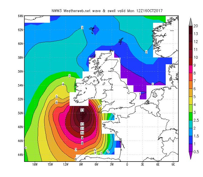
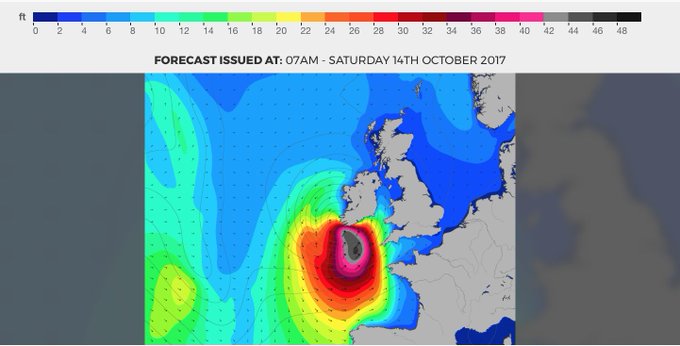
Are Currently 42 Foot Waves Off The South Coast Of Ireland
Thats
13 metres high
15
October, 2017
As
the worst storm in 50 years approaches our shores the emergency plan
has fully started to kick into top gear around the country. We've
shared a full list of closures and steps being taken.
Although
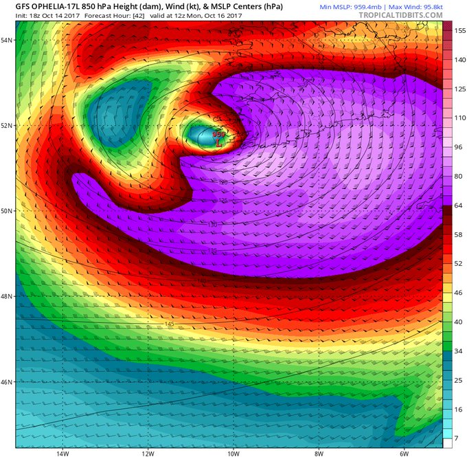
the storm has not hit land yet it has been whipping up the Atlantic
Ocean as it approaches the West coast of Ireland.
The waves are currently being tracked at between 42 and 45 feet off the South West coast of Ireland. That is as tall as three double decker buses stacked on top of each other...

They've been getting bigger over the last 12 hours...
The waves are actually forecast to start hitting 50 foot tomorrow as the storm approaches...
Here is the latest full updated from Met Eireann...
Update
on Storm Ophelia issued at 6pm Sunday October 15th 15 October 2017
WIND:
Gale-force winds are expected to begin across southern parts by early
Monday morning and gradually spread northwards across the country
during the day. Hurricane-force winds are expected to reach
southern coastal counties by late Monday morning with storm force
winds spreading inland and northwards across the country during
Monday.
Preparations
to protect lives and property should be taken today if possible.
Wind
speeds atop and on the windward sides of hills and mountains are
often up to 30 percent stronger than the near-surface winds indicated
in our Warnings, and in some elevated locations could be even
greater.
RAINFALL:
Ophelia is expected to produce rainfall amounts up to 50mm in parts
of the west with isolated totals above 50mm in elevated areas of the
south and west. Across eastern Ireland, rainfall amounts will
likely average less than 30mm.
STORM
SURGE: A dangerous storm surge is expected to produce
significant coastal flooding near and to the east of where the centre
of the post-tropical cyclone makes landfall. Near the coast,
the surge will be accompanied by large and destructive waves.


No comments:
Post a Comment
Note: only a member of this blog may post a comment.